
Have anything to ask ?
+971 58 902 2489
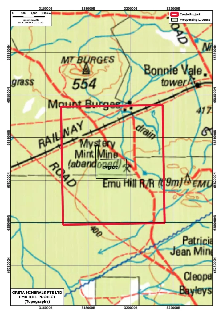
The Emu Hill Project covers approximately 1.4 sq. km. and is strategically located covering a complexly folded greenstone stratigraphy with a high amplitude aeromagnetic signature.
The historic Mystery Mine gold mine lies 350 m to the southeast, previously the subject of a development proposal by Croesus Mining NL in the early 1900s. At the time, an estimated 133,000 tons of ore were slated for toll tenement at the nearby Hanna South processing plant. Similar geological and structural setting lie within the Emu Hill Project.
The Mystery Mint gold system lies at the northwest extent of the folded Coolgardie metagabbro belt, within a northwest-trending shear zone hosted in layered metagabbro. This 20-meter-wide shear zone cuts obliquely across the host rock, localizing gold within multiple parallel quartz veins rich in sulphide mineralization (notably pyrite and pyrrhotite at depth).
The downdip extension of the primary ore zone remains untested, as do possible offshoots and parallel structures associated with the original quartz vein system. These represent high-priority RC drilling targets, with the potential to define additional ounces in a historically producing environment.
With a proven gold system, structural complexity, and underexplored depth potential, the Mystery Mint Project offers low-entry, high-impact exploration upside in a region known for its prolific gold endowment.